Contact Us
For more information about our services and how we can help your organization stay secured, please contact us today.
For more information about our services and how we can help your organization stay secured, please contact us today.
We’re here to answer any question you may have.
Would you like to join our growing team?
careers@hub.com
Have a project in mind? Send a message.
info@hub.com
+2349133876685

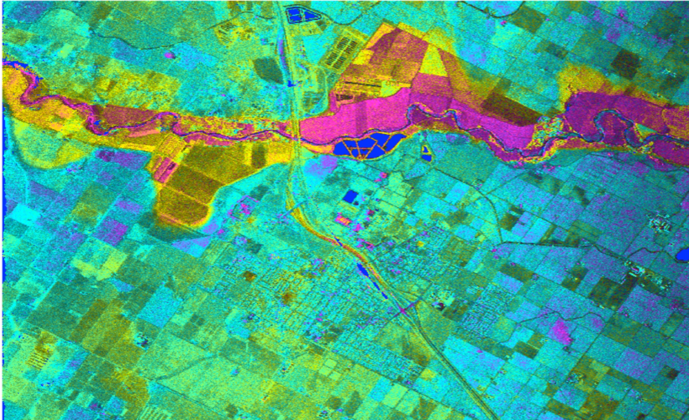
In the ever-evolving landscape of security, accurate and timely information is paramount. Rock Intelligence and Security Company Ltd (RISC) offers a specialized Remote Sensing & Cartography service that combines the power of remote sensing technology with the art and science of cartography. This service provides detailed, up-to-date geographical data and visualizations that are crucial for effective security planning and operations. Our expertise in these fields enables us to deliver precise, actionable insights that enhance situational awareness and strategic decision-making.
Remote Sensing: Remote sensing involves the acquisition of information about the Earth’s surface without making physical contact. This is achieved through the use of satellite imagery, aerial photography, and other sensor technologies that capture data from a distance. Remote sensing provides a wealth of information about land use, vegetation, urban development, and more, which is essential for comprehensive security analysis.
Cartography: Cartography is the practice of creating maps that represent geographical data visually. It involves the design and production of maps that are both informative and easy to interpret. By translating complex data into clear visual formats, cartography enhances the understanding of spatial relationships and patterns, aiding in effective decision-making.
1. Satellite Imagery and Aerial Photography: We utilize high-resolution satellite imagery and aerial photographs to gather detailed information about specific areas of interest. This data provides a clear and accurate view of the terrain, infrastructure, and other key features, which is vital for assessing security risks and planning interventions.
2. Sensor Technologies: Our remote sensing capabilities extend to various sensor technologies, including infrared, radar, and LiDAR. These sensors capture different types of data, such as thermal patterns, surface elevation, and vegetation health, offering a multi-dimensional view of the environment. This diverse data set allows for comprehensive analysis and a deeper understanding of potential threats.
3. Geospatial Data Integration: We integrate data from multiple sources, including satellite imagery, ground surveys, and public records, to create a unified geospatial database. This integration ensures that our maps and analyses are based on the most complete and accurate information available.
4. Advanced Cartographic Techniques: Our cartographic experts employ advanced techniques to design maps that are both informative and aesthetically pleasing. We use various styles and symbologies to highlight critical features, making it easier to interpret complex data and draw meaningful conclusions.
1. Surveillance and Monitoring: Remote sensing provides real-time surveillance capabilities, enabling continuous monitoring of large areas. This is particularly useful for detecting unauthorized activities, assessing environmental changes, and monitoring critical infrastructure. The detailed maps created through cartography facilitate quick interpretation and response to potential threats.
2. Risk Assessment and Analysis: By analyzing remote sensing data, we can identify areas of high risk and vulnerability. This includes assessing natural hazards, urban sprawl, and critical infrastructure. Our cartographic products visually represent these risks, allowing for better communication and understanding of potential security issues.
3. Disaster Management and Response: In the event of natural or man-made disasters, remote sensing and cartography play a crucial role in response efforts. High-resolution imagery provides an up-to-date view of affected areas, while detailed maps guide rescue operations and resource allocation. This ensures a coordinated and effective response, minimizing damage and saving lives.
4. Strategic Planning and Resource Allocation: Remote sensing data and cartographic maps support strategic planning by providing a clear picture of the geographical landscape. This helps in the optimal placement of security resources, infrastructure development, and urban planning. By visualizing spatial data, decision-makers can make informed choices that enhance security and efficiency.
Enhanced Situational Awareness: Gain a comprehensive understanding of the geographical and spatial context of your security environment.
Accurate and Timely Data: Access high-resolution, real-time data that supports quick and informed decision-making.
Improved Risk Management: Identify and mitigate risks more effectively with detailed analysis and visual representation of potential threats.
Efficient Resource Utilization: Optimize the deployment of security resources based on precise geographical insights.
Strategic Advantage: Leverage advanced remote sensing and cartographic techniques to stay ahead of emerging threats and challenges.
At Rock Intelligence and Security Company Ltd (RISC), our Remote Sensing & Cartography service stands at the forefront of security innovation. By combining state-of-the-art remote sensing technology with expert cartographic skills, we provide our clients with unparalleled geographical insights and visual tools. These capabilities are essential for enhancing situational awareness, managing risks, and making strategic decisions that protect assets and ensure safety. Trust RISC to deliver the precision and insight you need to navigate the complexities of today’s security landscape.

Adding {{itemName}} to cart
Added {{itemName}} to cart